Our Blogs
Developments is DAI’s newsletter, offering feature articles, research, opinion pieces, and interviews on DAI projects and global development issues. Digital@DAI is our blog on what we're learning in the field of digital acceleration.
Featured Articles
Developments

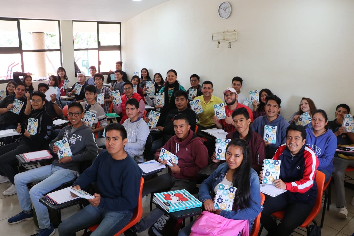
Systems First: Why Nigeria’s Learning Challenge Demands Stronger Foundations
Nigeria has made steady progress in expanding access to education. Yet many pupils still finish primary school without the literacy and numeracy they need to thrive. The task ahead is no longer simply getting children into classrooms, but ensuring the system turns access into achievement.
Developments

3 days ago | 7 min read
Building Tomorrow’s Economies: Dr. Syham Bentouati and the Strategic Evolution of In-Country Value
Dr. Syham Bentouati, a leading voice in the Middle East’s In-Country Value (ICV) evolution and expert trainer at DAI’s next Local Content Masterclass, explains how practitioners can deepen their engagement with the complexities of economic diversification and industrial strategy.
Developments

patrick henry, Vice President, Head of DAI's Sustainable Business Group
15 days ago | 7 min read
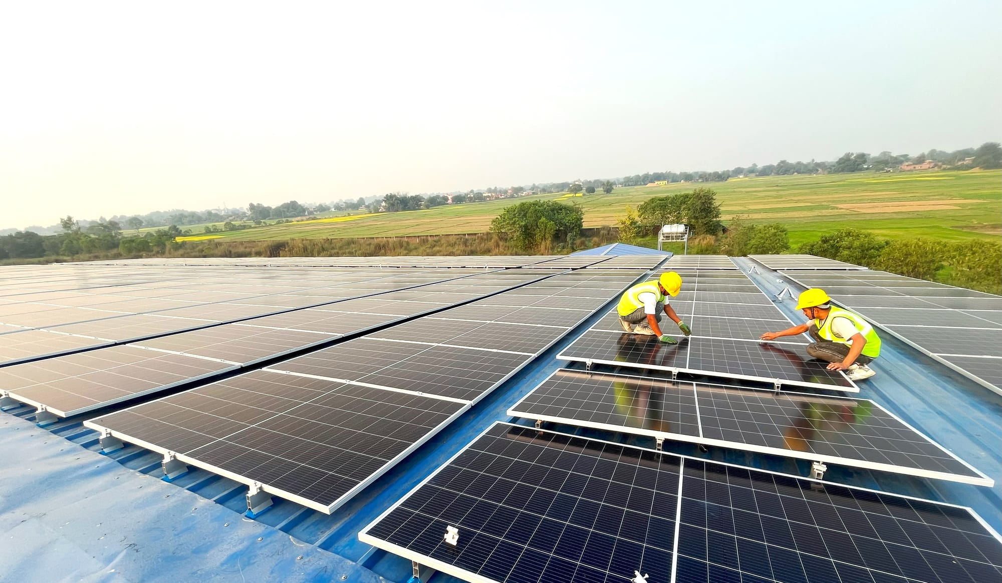
Building Win-Win Data Center Projects: How Strategic Planning Aligns Profitability and Local Economic Development
Data centers are essential to the future of AI, cloud computing, and digital commerce. But building them requires more than engineering expertise. It demands a multi-stakeholder strategy grounded in real-world analysis.
Recent Articles


More News

How Data Analysis, Community Engagement, and GIS Delivered a Reliable Water Source to an Afghan Community

Alice brindley , Bella brittan

The Environment Matters: Reflections from World One Health Congress 2024
Abby gross , Janine mitchell , Walter weaver , Joshua palfreman