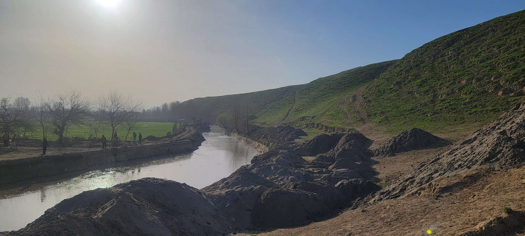
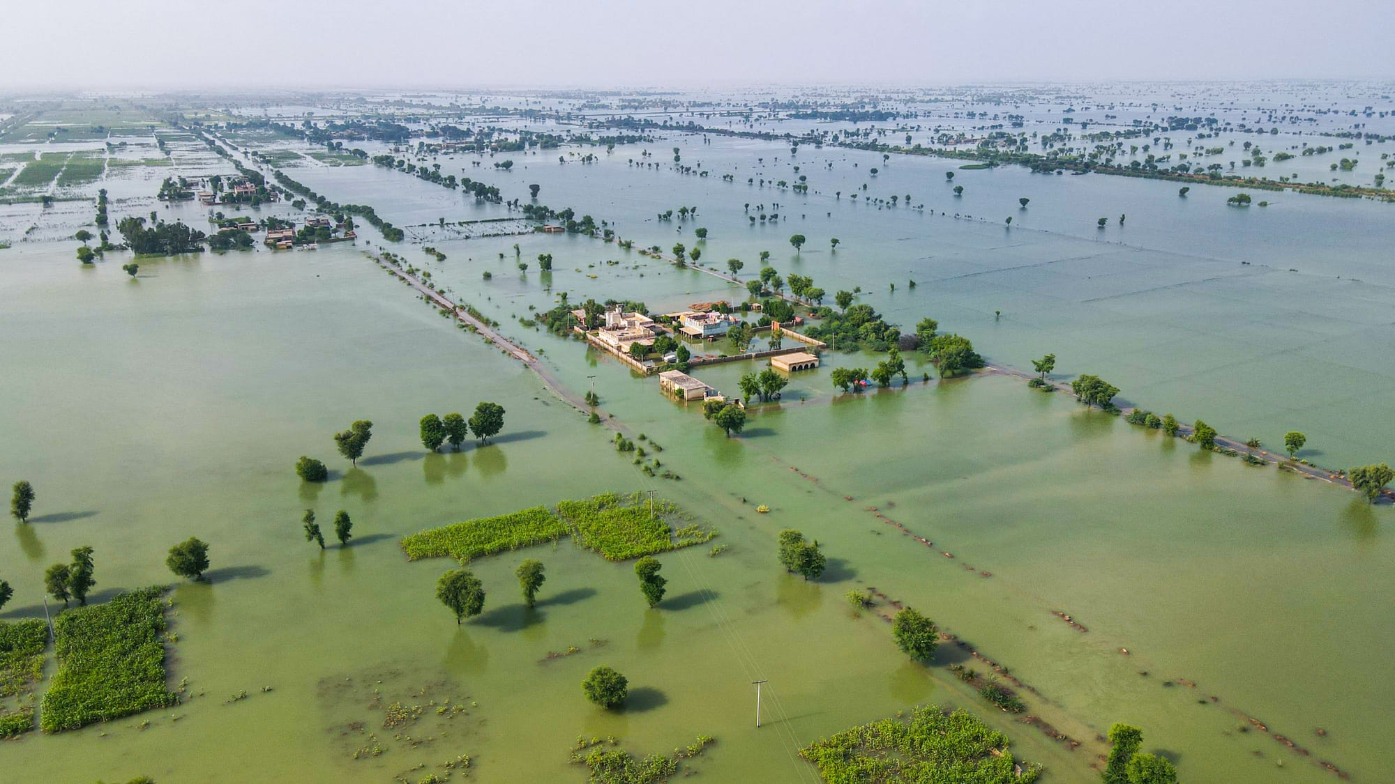
In early 2024, the Afghanistan Value Chains Program (AVCP), funded by the U.S. Agency for International Development (USAID), launched an initiative in northern Afghanistan aimed at strengthening the agricultural backbone of Kunduz Province. This effort, called the Char Dara Canal Desilting Project, was more than just an infrastructure improvement; it was a lifeline for local farmers struggling with the effects of drought, poor irrigation, and limited water availability. By desilting the central stretch of the Char Dara canal, AVCP aimed to improve agricultural resilience, bring economic stability, and secure a reliable water source for the thousands of farmers who rely on the canal for their livelihoods.
A Data-Driven Approach
To choose the location with the best potential for supporting development in Kunduz, the program mapped a range of data variables, including rainfall records, vegetation indices, and proximity to functioning agribusinesses. Our team from Alcis, a data analytics consultancy, worked with AVCP to bring in satellite-derived data such as a normalized difference vegetation index (NDVI), which measures how well crops are performing based on the greenness of the plant leaves and tracks the health of vegetation over wide areas and long time spans, and a vegetation condition index (VCI), which pinpoints areas that have endured drought and declining crop health over time.
The map below shows NDVI data across the canal command area and clearly highlights how the upstream agriculture (the southeast end) is doing better (darker green color) than the downstream areas (pale green). This effect is mostly a function of water availability.
VCI indicates the extent of drought conditions in crops and draws on NDVI data in its computation. It compares current NDVI values to NDVI values measured over a long time span to determine how well crops are performing compared to their normal condition.
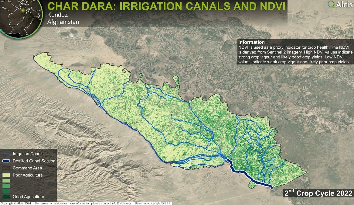
Through this analysis, the Char Dara canal emerged as the optimal choice. Not only did the area show clear signs of agricultural drought, but it also supported a substantial farming community with a high potential for increasing agricultural growth. Directly sharing this GIS data with communities in the area helped us ensure that the project site was ideally located and that the community of 13,500 people was fully on board.
Supporting the Potential of Kunduz Agriculture
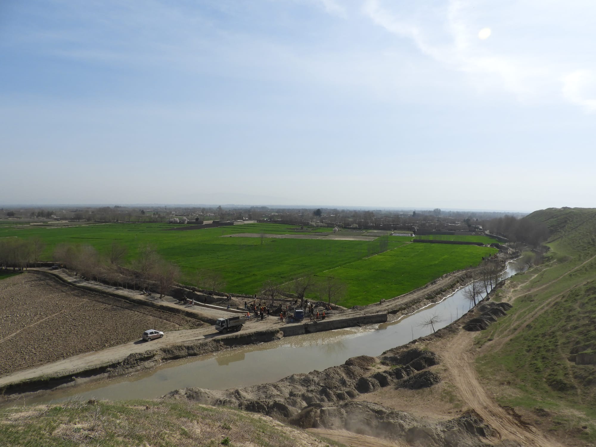
The Char Dara canal feeds water to nearly 24,000 hectares of farmland and plays a vital role in Kunduz Province’s agricultural productivity. Years of neglect and natural silt build-up had restricted water flow, leading to a loss of crops and reduced yields.
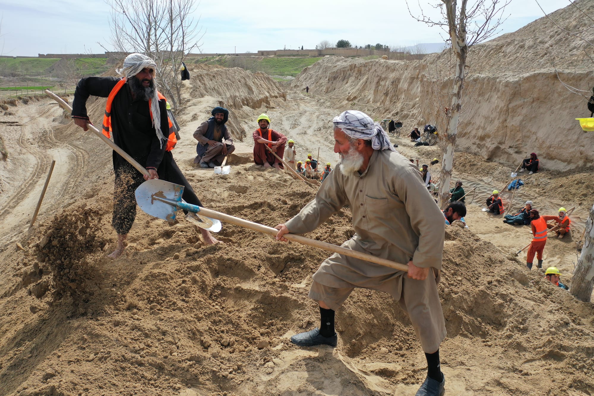
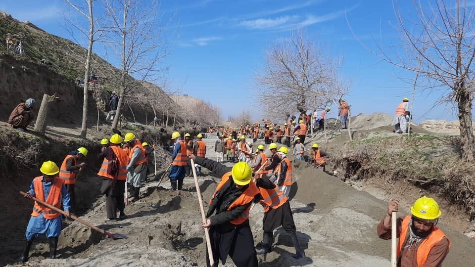
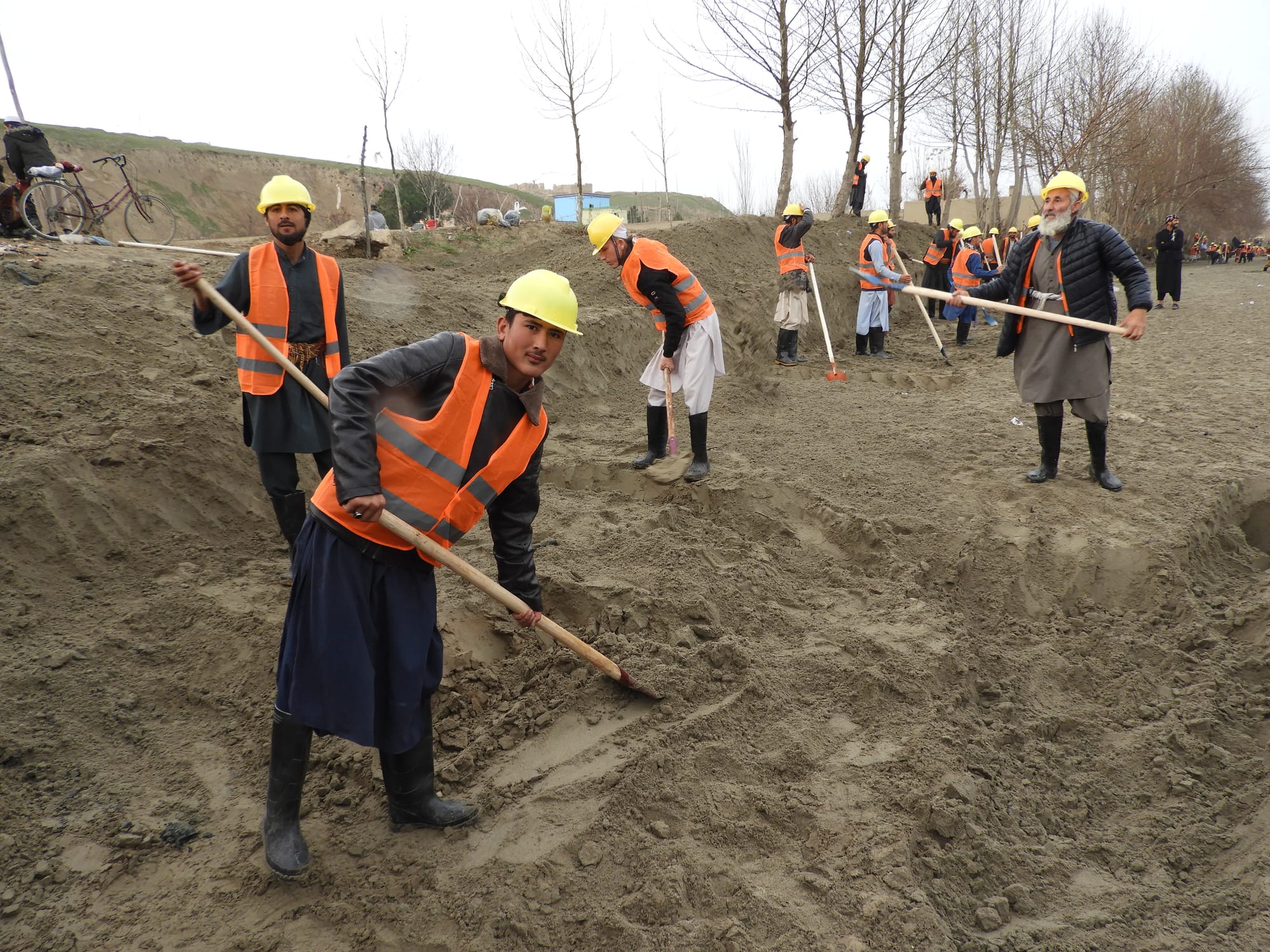
To address this longstanding issue, AVCP mobilized 400 farmer-laborers, providing employment opportunities through a cash-for-work program. The laborers dug out 58,400 cubic meters of silt along a six-kilometer stretch of the canal—equivalent to filling around 23 Olympic-sized swimming pools. The effort also revitalized eight sub-canals, which delivered irrigation to more fields.
Transformative Benefits for Local Farmers
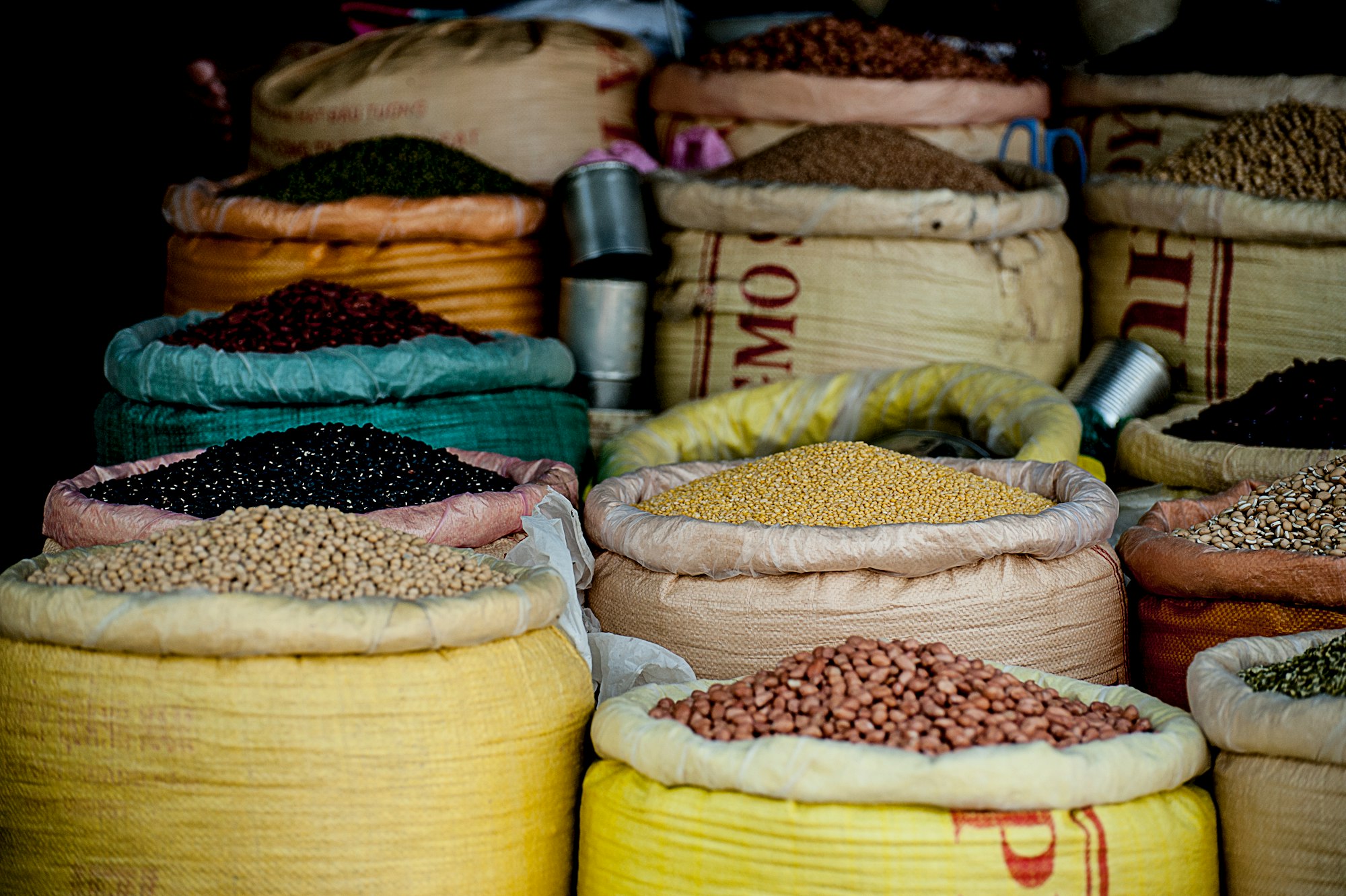
The canal desilting will directly benefit more than 10,000 people across 120 villages in Kunduz Province, bringing water to farmlands that had struggled for years. Farmers like Bakezai—who cultivates wheat, beans, watermelons, and vegetables—are optimistic about the revitalized canal’s impact. “Because the canal was filled with sediment, water didn’t flow to the downstream villages, causing crop losses,” he said. “I am sure this year the water will flow all the way to downstream villages, allowing farmers like me to grow our desired crops.”
Another farmer, Rahmat, hopes to change what he can cultivate. “In recent years, I mostly grew wheat… With enough water, I can plant cotton instead. Cotton yields more and is valued higher in the market. Since the canal is cleaned and water reaches my fields, I am sure it will bring significant changes in our income.”
Monitoring and the Future of Char Dara
To gauge the project’s long-term success, AVCP is using satellite imagery and remote sensing to monitor crop health over the coming seasons. Through NDVI analysis, it’s possible to observe plant growth and land productivity remotely, ensuring that the canal desilting project continues to support Kunduz’s agricultural sector for years to come.
This proactive, data-driven approach will help track how water from the Char Dara canal rejuvenates the surrounding farmland, allowing local farmers to see meaningful change. The initiative demonstrates AVCP’s commitment not only to address immediate challenges but to foster sustainable growth in Afghanistan’s agricultural communities.

