Large-scale rail, mining, energy, and logistics investments depend on a fundamental condition: secure and clearly documented land tenure.
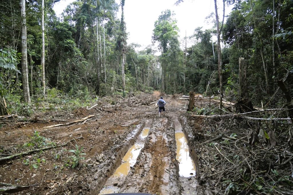
Prominent among current investments of this nature in Southern Africa is the Lobito Corridor, a rail and road infrastructure initiative that connects the Port of Lobito on Angola’s Atlantic coast to mining and agricultural regions in the Democratic Republic of the Congo (DRC) and Zambia. The Lobito Corridor is expected to facilitate the export of Central Africa’s critical minerals and other products to global markets, while also promoting regional trade and economic diversification.
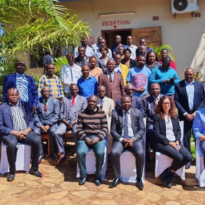
It’s against this backdrop that the EU—one of the Corridor’s major backers, alongside the United States—launched the Support to the National Land Audit project as part of its Global Gateway initiative. Implemented by DAI, this project supports the design and implementation of the National Land Audit, working with Zambia’s Ministry of Land and Natural Resources and the Ministry of Local Government and Rural Development to develop and test audit methodologies in select districts.
Those audits—in Solwezi and Mwinilunga (Northwestern province), Kitwe and Ndola (Copperbelt province)—are now providing concrete, district-level data that is directly relevant to the implementation of the Lobito Corridor and the EU’s Critical Raw Materials Strategy.
- In Mwinilunga, for example, where the anticipated Lobito railway is expected to increase land pressure, the audit confirmed that 64 percent of land falls under customary tenure, with significant documentation gaps and a high proportion of unresolved boundary disputes. In such a context, infrastructure development without prior tenure clarification increases the likelihood of competing claims, compensation disputes, and project delays.
- In Solwezi, the center of copper expansion, the audit highlighted incomplete documentation, informal transactions, and frequent boundary conflicts. As mining and processing facilities expand along the Corridor, these tenure weaknesses represent tangible legal and social risks for investors and government alike.
- In the Copperbelt districts of Kitwe and Ndola, rapid urban growth linked to mining and industrial activity is occurring alongside fragmented records and limited formalization of land-use changes. Industrial parks, storage facilities, and service hubs associated with critical minerals value chains require legally secure parcels and predictable acquisition procedures—conditions not yet fully in place.
The value of the National Land Audit lies in providing verified spatial data that clearly distinguishes state and customary land in Corridor-affected districts; generating parcel-level evidence on documentation gaps and actual tenure security conditions; systematically identifying boundary disputes and cadastral inconsistencies that create conflict risk; and formulating clear, operational recommendations to strengthen formalization processes, improve customary-to-state conversion pathways, and establish structured dispute resolution mechanisms.
If the audit recommendations are applied, particularly those related to documentation strengthening, customary-to-state conversion procedures, cadastral alignment, and structured dispute resolution, then land tenure risks associated with the Lobito Corridor and critical raw minerals investments can be significantly reduced.